The Backwaters in Monsoon: A Transect Through Alappuzha and Vembanad
Kerala's canal system runs swollen and brackish through monsoon season, and murky water turns out to tell a straighter story than the dry season postcard does.

Alappuzha in the Rain: A Water Reading
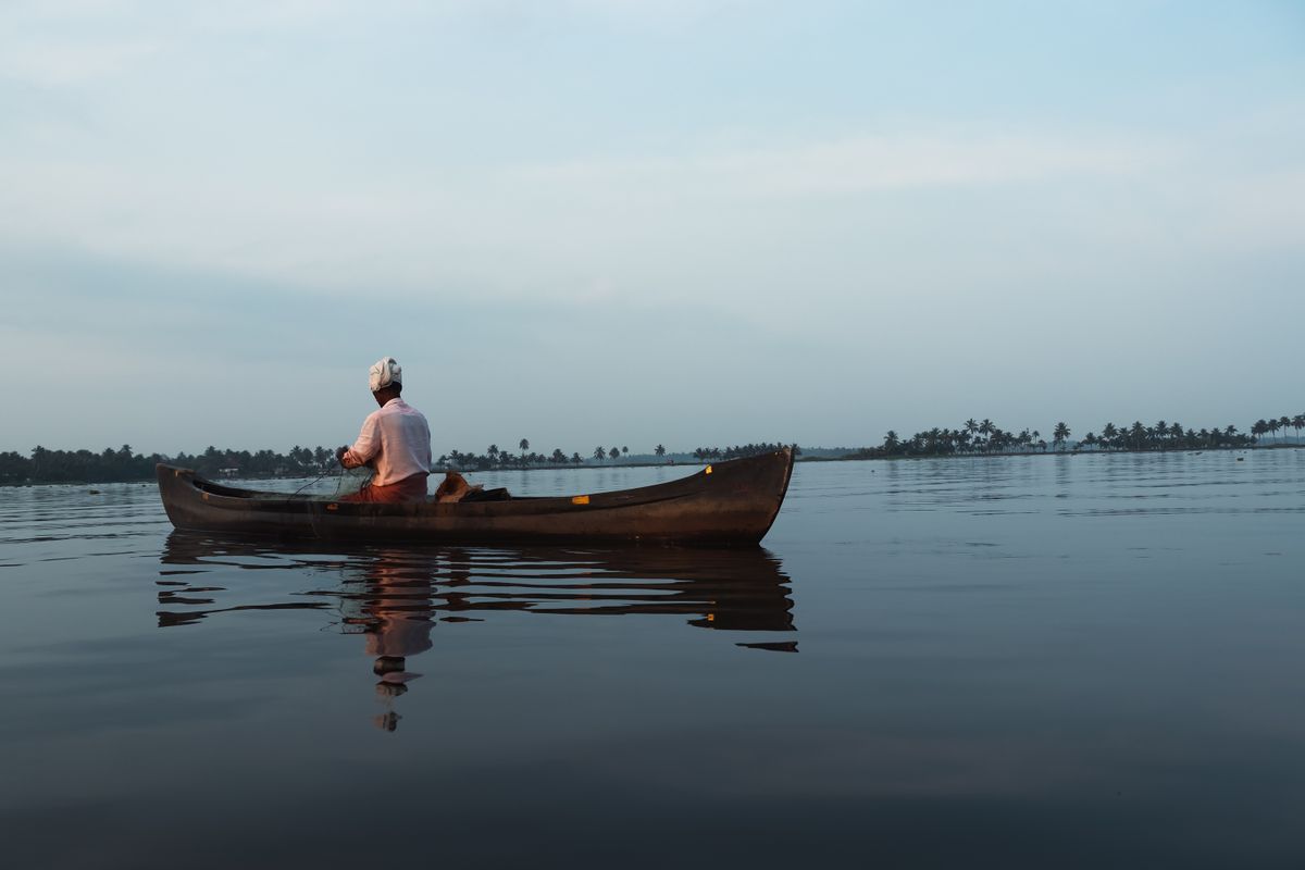
Fish traps before the houseboat traffic starts.
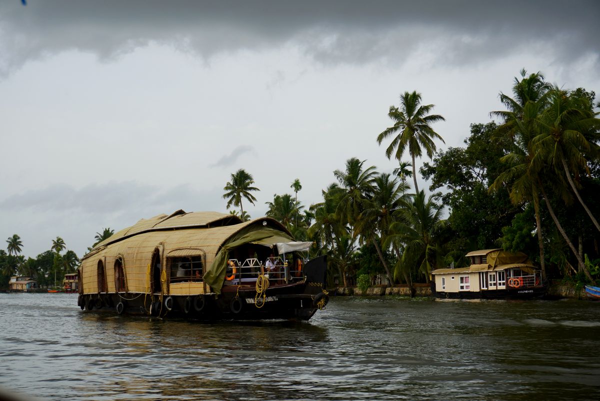
Six fifteen in the morning at the Alappuzha boat jetty, rain steady, not the kind that stops a schedule. Water temperature at the gunwale, thermometer clipped to my daypack: twenty nine degrees. Chop under half a foot, the canal moving on its own current instead of just reflecting the sky. Visibility with my hand flat under the surface: gone past the wrist. Not a monsoon problem. A monsoon reading, and an honest one.
The turbidity is silt, not neglect. Every canal here is carrying whatever the paddy fields and coconut groves shed in a hard rain, and from June through September that's a lot more than the postcard version of this place lets on. I've logged reefs that go cloudy after a storm for the same reason and get written off as dead by people who never came back to check once the water dropped.
Houseboats keep running through all of it under Kerala Port Department rules, grounded only on the days the rain turns heavy enough to shut the water down. Today wasn't one of those days, and Suresh, the boatman, said most days this month haven't been either.
Suresh quoted the queue from memory rather than a brochure: three houseboats waiting to push off when we left the jetty. In the dry months from December, he said, the line runs past the chai stall at the bend, some Saturdays deep enough that departure slips by two hours. I didn't verify the queue length, though I counted his three myself, and cheaper too, he added, without giving a number, just less than December.
The dry season postcard doesn't survive this water: no aerial-shot clarity, no houseboat reflection doubled and sharp on the surface. Monsoon gives back something else instead, coconut fronds meeting mid-canal overhead, cormorants working the shallow margins where the current slows, a canal that reads as a working drainage system rather than a set piece holding still for a drone.
A man paddled past us alone about twenty minutes out, standing in a slim canoe, single-blade strokes, no motor, nobody near him. He wasn't posed for anything, just moving fish traps between two stretches of canal ahead of the houseboat traffic, and he didn't look up once the whole time he was in sight.
Alappuzha in monsoon photographs worse and reads better in person, which is the reverse of most coastlines I've logged. Verdict: board it in the rain if the schedule allows, the traffic thins and the drainage system shows itself for what it actually is.
The working backwater runs underneath the tourist one, same water, different hour.
Vembanad Lake, Toward Kumarakom
Vembanad opens up past the last canal junction the way a reef flat opens past a channel, suddenly and without much warning. The chart in the houseboat's wheelhouse lists it plainly: eighty four kilometers long, average breadth just over three, total area around two hundred four square kilometers, the largest lake in the country. None of that reads as a number from the top deck. It reads as losing the far shore in the rain.
The wider network feeding this one basin runs past nine hundred kilometers of canals, rivers, lakes and inlets, all of it draining toward the Arabian Sea, which is the fact that actually explains why the water off Kumarakom never looks the same two hours running.
Vembanad is brackish most of the year, tidal influence reaching up from the sea end near Kochi. In monsoon the rivers pushing into it run hard enough that the mixing line shifts, and the water off Kumarakom felt noticeably softer against my hand than the canal water back at Alappuzha, less of a mineral edge to it. Fresher, not fresh. The salt doesn't leave the lake, it gets pushed down and out toward the barrage.
The claim I kept hearing repeated on these boats is that monsoon turns Vembanad into a freshwater lake outright. It doesn't. What moves is a mixing gradient shoved around by rainfall, which is a more interesting fact than the flat version and also the one nobody puts on a brochure.
Count for one hour off the Kumarakom shoreline: four houseboats running in a loose convoy close enough to swap playlists, one drone hovering over a couple in matching white outfits doing a first look shoot on the top deck, six life vests worn as scarves rather than fastened, one tourist photographing a kingfisher that had already left the frame by the time the shutter went. Nobody in that hour was looking at the lake. They were looking at what the lake was going to become in the photo.
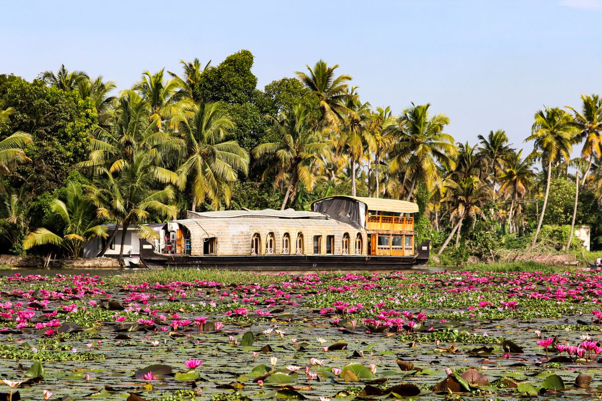
The lotus stands off Kumarakom only hold in water slow enough not to strip the pads loose, which makes them a better current gauge than anything printed on the chart. Pink flowers sat open flat against a grey monsoon sky, houseboats idling past at the pace the shallow water forced rather than the pace anyone chose. Where the lotus thinned out, the channel picked back up.
What I'd actually go back and check: I read that mixing line off a single crossing, hand in the water at two points forty minutes apart, one data point pretending to be a gradient. A real transect needs six points minimum and a conductivity meter I didn't have room for in the dry bag this trip.
Vembanad in monsoon is still a working lake with a tourist fleet laid over it, not a tourist lake that happens to flood every June. Verdict: come for the scale and the mixing water, not for a clear reflection, because you won't get one here in any season worth logging. ■