Pokhara's Phewa Lake at the End of the Rains
Pokhara's mountains stayed mostly in cloud at the end of the rains, and Phewa Lake, with its boats and island temple, made a full day without them.

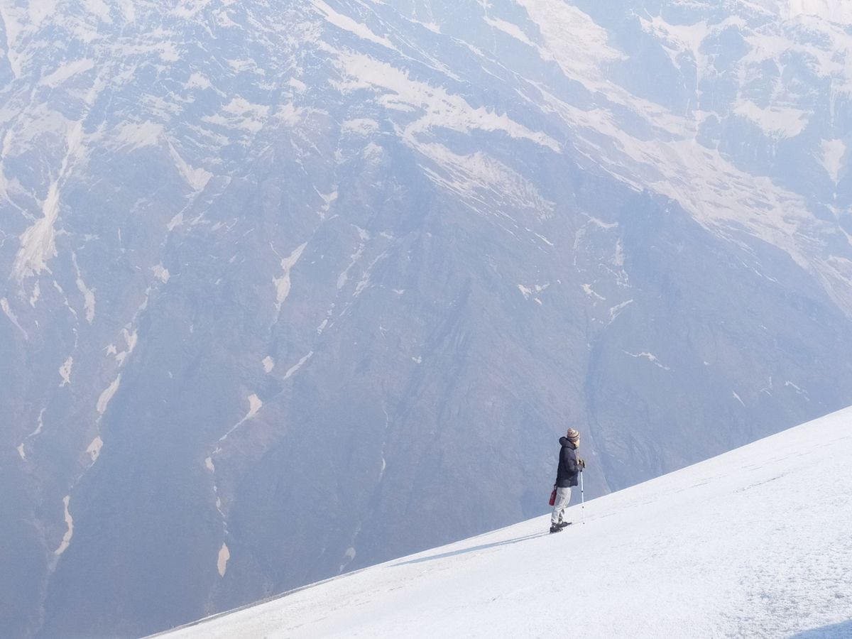
Pokhara is a lake city 200 km west of Kathmandu, and most tourists who visit it trek to Annapurna Base Camp, the trekking camp below the mountain of that name. The Annapurna range, the line of snow peaks that trek walks into, is only about 28 km from the city's lake in a straight line, but most of the year's rain falls between June and September, so a trip at the tail of the monsoon looks like a mistake.
I went anyway, in the last days of September and the first of October. The morning I first walked down to the water, Phewa, the lake the tourist district runs along, was grey-green under low cloud, with a single covered boat far out on it. I worked the lake the way I survey a reef, in transects, which are straight lines walked or crossed by boat while you count what is along them, and the day below runs three of them from morning to dusk.
Transect one: the north shore

The boats, with the cloud lifting off one summit for a few minutes.
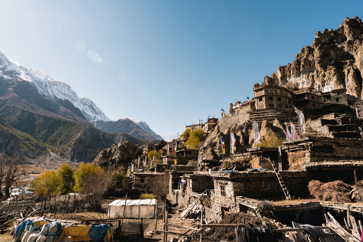
Drizzle, and cloud down on the hills: the boats off Lakeside, part of the tourist district on the north shore, were knocking against each other at their moorings, and there was frying oil on the air before I found where it came from. Phewa is the third largest lake in Nepal, and boating and other water sports on it are one of Pokhara's major tourist attractions.
By the time I reached the boats the cloud had started to lift, so that blue sky was breaking through above the ridge behind them, the first clear sky I had seen in Pokhara. The frying turned out to be a snack seller, who had dried one end of a bench with a rag and set a tray beside her. I took the other end and counted for as long as the tray lasted: seven people photographing the boats, two photographing each other, one asleep.
For a few minutes the cloud came off one summit above the ridge, a pale point of snow, and the seller named it without looking up: Machhapuchchhre, the closest of the big peaks to the city. Phones all along the shore came up toward it. Then the cloud closed over it again, and the rest of the range did not show that morning or on any day after. A row of phones stayed pointed at the ridge after the cloud had answered. The north shore is the place to wait out weather on Phewa, with a dry bench, something hot to eat and the whole fleet in view.
A row of phones stayed pointed at the ridge after the cloud had answered.

Transect two: the water
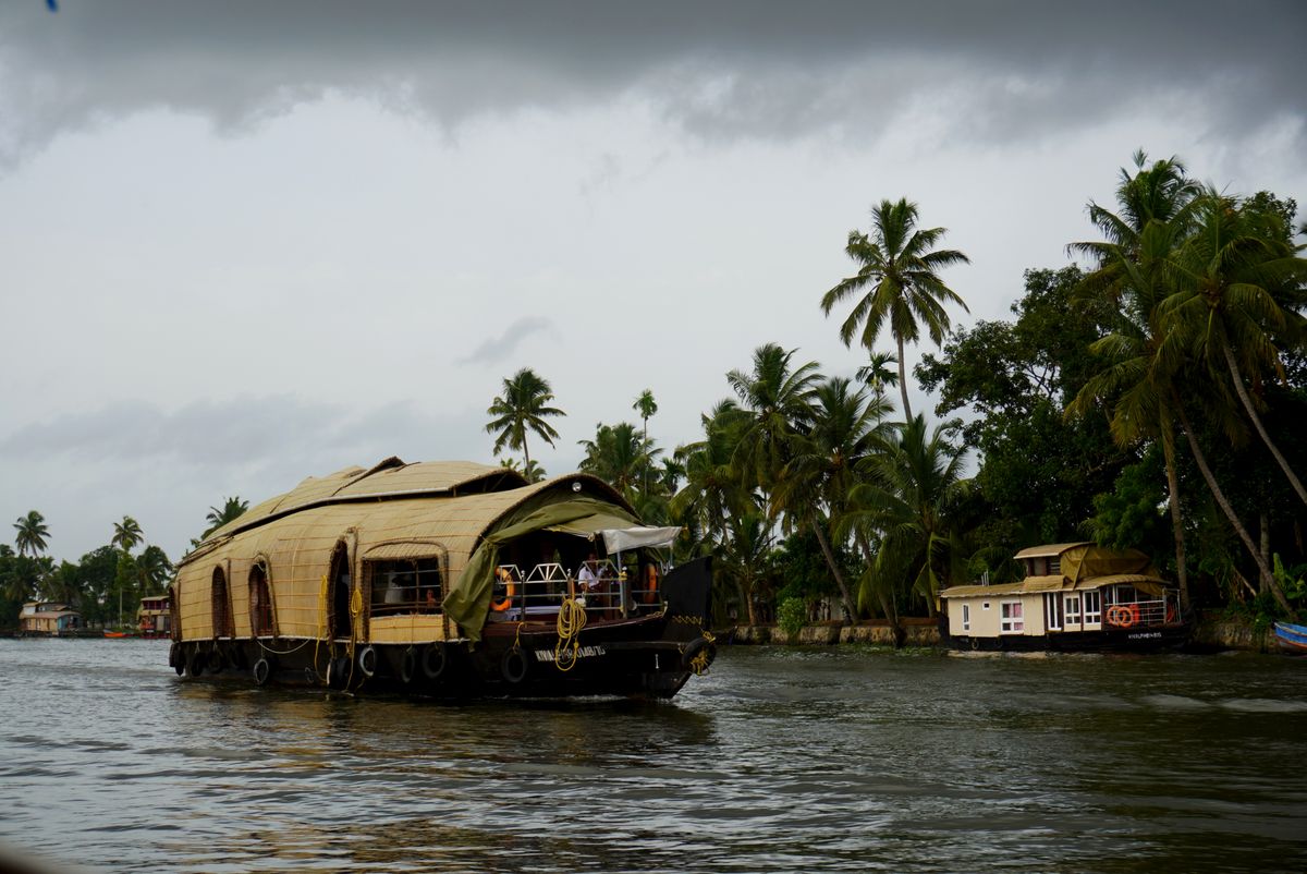
There was one other boat on the water at midday, and the only sound out there was our paddle knocking the hull each time the boatman changed sides. I asked him how deep it was under us and he said deep enough to lose a phone in. Phewa averages about 8.6 m deep and reaches 24 m at its deepest, and over the side the green water gave nothing back below an arm's length, which I put down to a season of rain running into it.
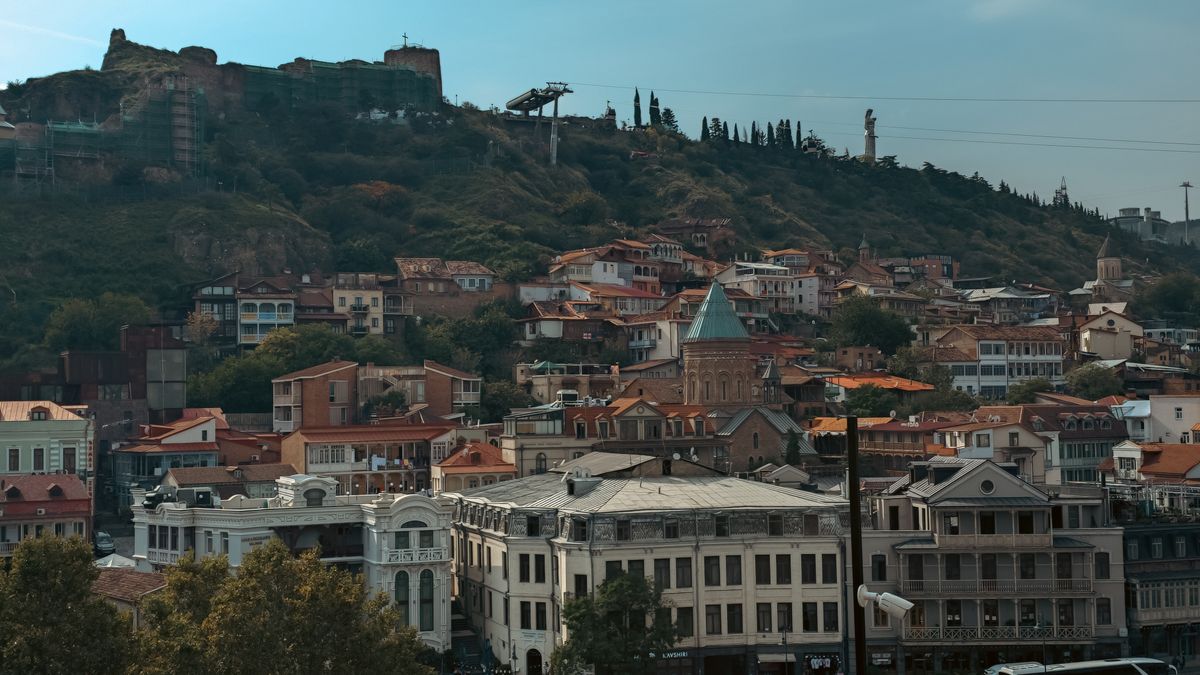
Halfway across, the boatman rested the paddle across his knees and let us drift side-on to the far shore, where houses sit among the trees on steep green slopes. Phewa is famous for the reflection of Machhapuchchhre and other peaks on its surface; that day it held cloud and hillside. When I asked about fish he waved down the lake and went back to paddling, and since part of the lake is used for commercial caged fisheries, that wave was as close as I got to them. The crossing is worth making under cloud, and I would make it again after a clear week to see how far down the water lets you look.
Transect three: the island
The wind dropped at dusk and the water went flat enough to hold the cloud, so that a radio on the shore behind me came across it as clearly as if it were in the boat. In the time it took me to write that reading down, the pink had gone out of the cloud.
notes from the shore
For the mountains, go in winter or spring, when Pokhara's skies are generally clear and sunny.
On a clear day three 8,000 m peaks can be seen from the city: Dhaulagiri, Annapurna and Manaslu.
The World Peace Pagoda, a monument built in 1996, stands on the southern shore, across the lake from the tourist district.
The only way to visit Tal Barahi is by boat.

Tal Barahi, a Hindu temple of the goddess Barahi, stands on a small island in the middle of the lake. I crossed to it late, and by the time the boat bumped in at the landing the water around us had gone dark, so the roof ahead showed mainly as a shape.
The temple's original structure is stone, under a two-storey thatched roof in pagoda style. In that light I got the outline of the roof and the smell of wet thatch, and the stone mostly by touch. Cross to Tal Barahi while there is still light to see it by. ■