Þingvellir and the Rift That Grows a Fingernail's Width a Year
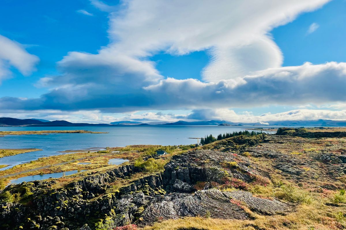
At Þingvellir the ground itself is the argument, splitting apart two centimetres a year beneath a canyon, a fissure of glacial water, and the site of Iceland's oldest parliament.
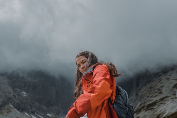
Almannagjá
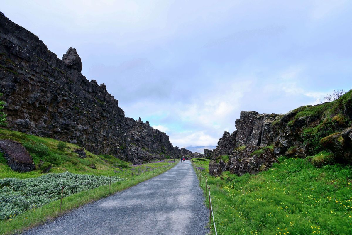
The floor of Almannagjá, one fault among many, not the single seam the signpost implies.
A rift valley is what forms when two plates pull apart faster than the crust between them can stretch, so the ground simply drops, block by block, along a set of parallel faults instead of tearing cleanly along one edge.
Almannagjá is the largest of those faults, a basalt corridor deep enough that the footpath along its floor spends most of the day in shadow. Tour buses stop here first, unload, and everyone photographs the same signpost declaring the wall on the left North America and the wall on the right Europe.
That sign is a teaching simplification, and it says so nowhere on the sign itself. The plate boundary at Þingvellir is a diffuse zone several kilometres wide, laced with dozens of parallel fissures, of which Almannagjá is only the largest and most photogenic. Standing at the marked spot doesn't put one foot on each continent so much as it puts both feet somewhere inside a wide, ongoing argument that geologists have agreed to draw a tidy line through for the tourists.
Two centimetres a year, measured by GPS stations bolted into the rock since the 1990s, which sounds unimpressive until multiplied by the roughly ten thousand years since the last ice sheet retreated from this valley. That arithmetic is why Almannagjá reads as a canyon and not a crack, and why the valley floor between here and the lake sits some forty metres below the plateau on either side.
Pop quiz: the plates here drift at roughly a fingernail's growth rate per year.
Flosagjá
Field data
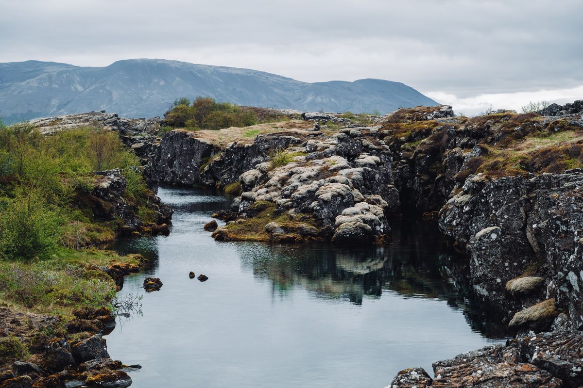
Flosagjá's water sits close to freezing year-round; the clarity is not an invitation to swim.
Coins and other offerings are discouraged. They don't dissolve, they just sit on the ledges for the next passer-by to photograph.
Midday sun reaches furthest into the narrow gap, which is the best window for seeing the fissure floor clearly.
Porosity is the percentage of a rock's volume that is empty space, and the lava fields blanketing Þingvellir are porous enough to work as a filter, not merely a drainage channel.
Flosagjá sits a short walk from Almannagjá, a narrow fissure barely wide enough to straddle in places, filled with water so transparent that coins tossed in decades ago are still visible resting on ledges well below the surface, which is presumably why so many remain down there.
Guides here like to hint that the clarity is a local mystery, or worse, evidence of something sacred about this particular crack in the ground. It isn't. The water is glacial meltwater off Langjökull, filtered for years through porous lava rock before resurfacing in fissures like Flosagjá and Silfra a few kilometres north, arriving with almost no suspended sediment left to scatter light. Filtration, not enchantment, is the entire explanation, and it happens to be the better story.
Pop quiz, since someone always asks at the railing: how long does that water spend underground before it reaches daylight here? Estimates run to decades, sometimes longer, depending on the exact path through the rock, which means the water holding your reflection at Flosagjá very likely left the glacier before you did anything worth reflecting on.
Þingvallakirkja and the Law Rock
Lögberg, the Law Rock, sits on a low outcrop within the same fissure system that cuts the rest of the valley, which means Iceland's earliest lawmaking happened on ground that was itself actively splitting apart, a detail the sagas don't dwell on.
Founded in 930 AD, the Althing gathered free men from across Iceland for roughly two weeks each summer to hear disputes and set law. There was no written code for the assembly's first several decades, so an elected Lawspeaker stood at Lögberg and recited the entirety of Iceland's law aloud, from memory, over the course of each gathering, a role held on a rotating term that must have been murder on the throat.
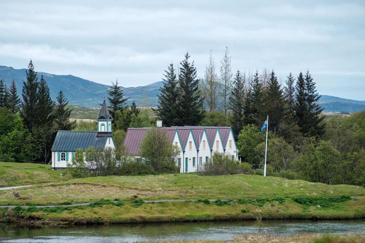
Þingvallakirkja, the small white church below the old assembly site, dates in its current form to 1859, though a church has stood near this spot since Iceland's conversion to Christianity around the year 1000. Beside it sits a turf-roofed farmhouse, and between the two the ground still shows the low ridges and cracks of the same fissure swarm running under everything else in the park.
Pop quiz to close the logbook: what do a thousand-year-old parliament and an ongoing tectonic rift have in common? Nothing, and that's the point worth sitting with at Þingvellir. The rift doesn't know the Althing happened here, and the Althing didn't need the rift to be anything more than solid ground for two weeks a year. The geology was never a metaphor for the history. It just happened to be underneath it, and it is still moving. ■