Twenty-Five Baobabs and the Arithmetic of a Borrowed Golden Hour
A Bhutanese happiness surveyor scores Madagascar's most photographed row of trees the way she scores everything else: by domain, by sub-index, against what surrounds it.

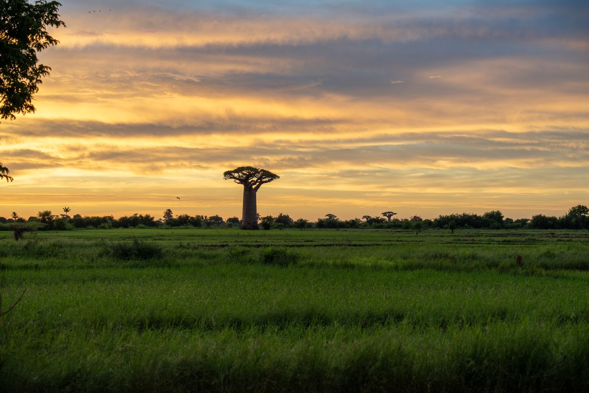
Does a landscape that draws the same busload of visitors at the same recommended hour every evening count as spontaneous, or has it quietly become a scheduled service, like any other line item in a village's day? At 5:45pm on Road No. 8, the unpaved track running between Morondava and Belon'i Tsiribihina in Madagascar's Menabe region, the answer showed up as forty-odd people standing in the road itself, tripods planted in red dust, waiting for a sun that was going to set on schedule whether or not anyone watched.
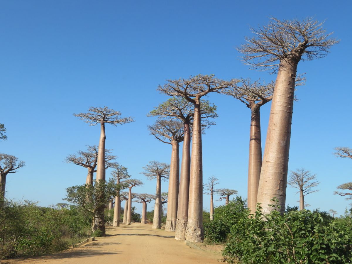
Twenty to twenty-five Grandidier's baobabs, each close to 30 metres tall, hold a roughly 260-metre stretch of that road, trunks gone grey-pink under the low light. Another twenty-five or so stand scattered through nearby rice paddies and meadows, spread across some 4 hectares, all of them Adansonia grandidieri, a species found nowhere outside this island. My home survey covers Bhutanese villages, not Malagasy roadsides, but the domains do not check passports at the border.
Living Standards: The Avenue Itself
Does a road earn Living Standards credit for keeping a promise it never formally made? Madagascar's Ministry of Environment granted the Avenue temporary protected status in July 2007, a first step toward becoming the country's first natural monument, and nineteen years on there is still no ticket booth, no fence, and no single agency you can find to ask why. Ox carts and motorbikes still use Road No. 8 as the through-route it has always been, which meant a boy on a bicycle rang his bell twice at a woman backing into the road for a better angle, and she did not move until the third ring.
Living Standards, sub-index for infrastructure-matches-reputation ratio: the road that carries a country's postcard image is the same rutted track that carries produce to Morondava's market, unwidened, unlit, ungraded since whenever the last grading happened, which nobody I asked could recall. Score: 5 out of 10, the trees earning full marks on their own and the road behind them costing the rest.
Community Vitality, sub-index for queue-discipline-without-enforcement: nobody had assigned tripod spots, yet by 5:50pm the row along the roadside had sorted itself into something like two ranks, tall visitors and drone operators toward the back, without a single raised voice. Living Standards for the Avenue itself, weighing the free access, the intact trees, and the ungraded road together: 6 out of 10.
The trees held their composure without anyone asking the road to do the same.
— field notes, 5:52pm
Ecological Diversity and Resilience: What's Around It
Does a survey of a famous strip of trees owe anything to the four hectares it does not put on postcards? Walk fifty metres off Road No. 8 in any direction and the baobabs stop being an avenue and start being scattered, single trunks standing over rice paddies, peanut fields, and grassland burned back to stubble, land that held forest within living memory and now holds neither. The 3.2 square kilometres around the Avenue have carried protected status since 2005, managed by the NGO Fanamby, which also runs a tree nursery on site aimed at growing back what the paddies replaced. Adansonia grandidieri is listed Endangered on the IUCN Red List, population trend declining, a fact that appears on none of the postcards sold at the roadside stalls.
Surveyor's notes
Temporary protected status was granted in July 2007, a step toward becoming Madagascar's first natural monument; the surrounding 3.2 sq km has been protected since 2005.
Adansonia grandidieri, the species lining the road, is Endangered on the IUCN Red List with a declining population trend.
The NGO Fanamby manages the protected area and runs an on-site tree nursery for reforestation.
Golden hour draws the crowds fast. Arrive by 5:15pm on Road No. 8 if a clear stretch of roadside matters to you.
There is no fence and no ticket booth. The road is still a working route for ox carts and motorbikes, so mind where you plant a tripod.
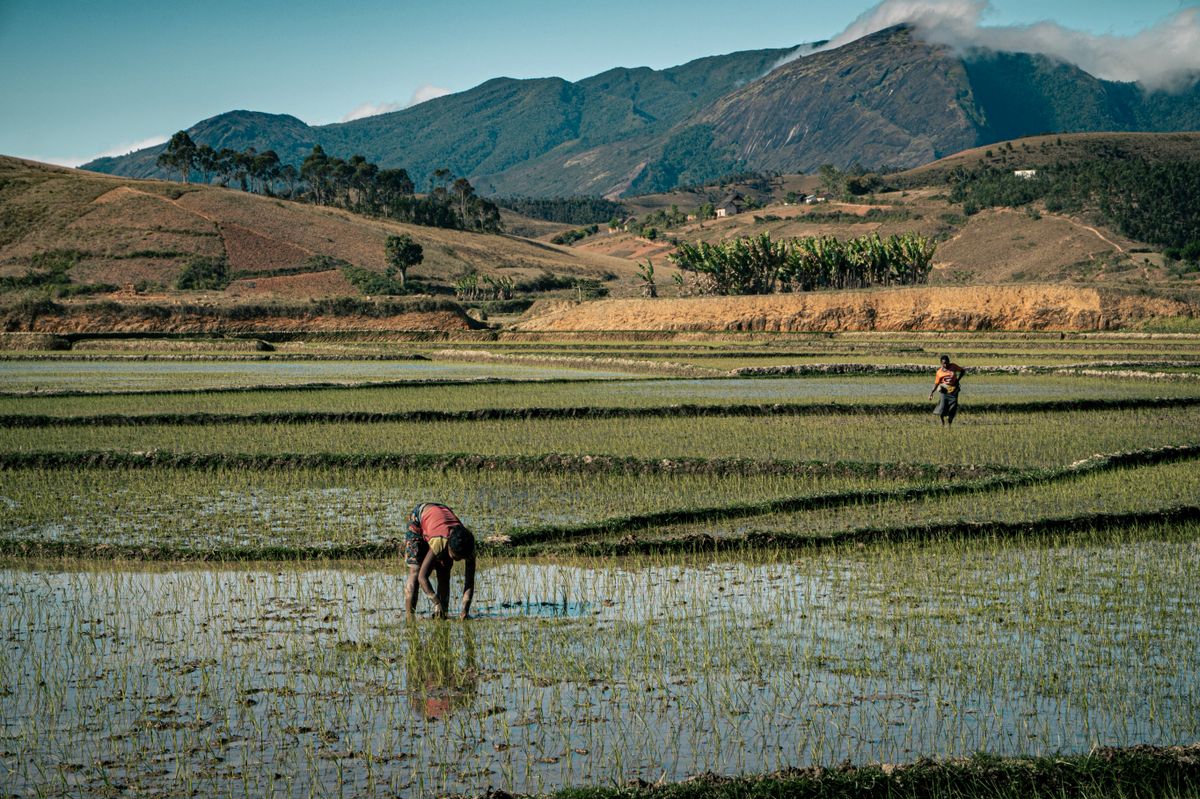
Ecological Diversity and Resilience, sub-index for habitat-to-monument ratio: one 260-metre postcard strip, protected since 2007, sitting inside a 3.2-square-kilometre buffer protected since 2005, inside a district where the older trees standing alone in the paddies get none of the protected status and all of the plough lines up to their base. Score: 4 out of 10, held down by how much of the surrounding land has already gone to rice and peanuts, and held up only by Fanamby's nursery, which is at least trying to put something back.
Ecological Diversity and Resilience for the wider district, trees and paddies and burned grassland together, not just the avenue everyone photographs: 3 out of 10. The domain that made this place famous is the same domain losing ground fastest just out of frame.
Overall, combining Living Standards for a road that carries both tourists and produce, Community Vitality for a queue that policed itself, and Ecological Diversity for a strip of endangered trees doing more institutional work than the four hectares around them: 5 out of 10 for the Avenue of the Baobabs at golden hour. I say that having queued nineteen minutes for a clear sightline behind a man who would not lower his selfie stick, a fact no sub-index will ever fully capture. ■