Grading the Tayrona Coast, Stroke by Stroke

Cabo San Juan reads at twenty-seven degrees by nine in the morning, current close to slack inside the point, and that's the only fact that matters before anyone steps off the sand. I've briefed squads on colder water for a Tuesday session in Suva. This is Parque Tayrona, on Colombia's Caribbean coast near Santa Marta, and I'm here for a reef survey, not a holiday.
The Sierra Nevada de Santa Marta sits directly behind this coastline, close enough that the rivers running off it are short and steep, which matters more than the map suggests. Rain up in those peaks reaches the sea inside a day, sometimes hours, and it shows up in the water as dropped visibility long before it shows up in any forecast. I walked the trail in from the park entrance with that in mind, checking the sky more than the scenery.
Leg One: Cabo San Juan del Guía
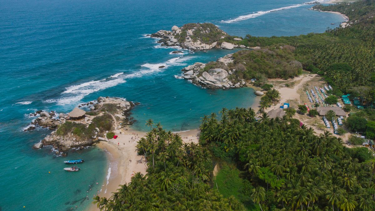
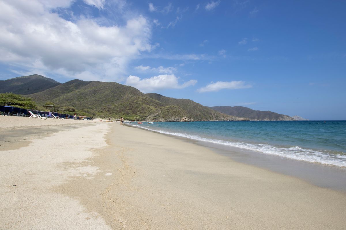
Cabo San Juan is the cove everyone photographs, a spit of sand between two bays with a lookout hut on the rock at the tip. It earns the attention. Inside the bay the water sits flat, protected on both sides by headland, and the current I clocked by watching a floating palm frond took nine minutes to travel maybe forty metres. That's not a current. That's the ocean deciding not to bother.
I'd grade Cabo San Juan an easy pass for anyone who can hold a steady forty strokes without stopping. Temperature's no factor, current's negligible inside the point, and you've got the lookout rock and the tree line at the far bay as sighting marks the whole way across. Rip risk lives outside the headland, not inside it, so the brief here is simple: stay inside the two points and you're training in a pool with a view.
Nine minutes, forty metres. That's not a current, that's a suggestion.
Session Two: The Reef Off the Point
coach's notes
Rent a mask that actually seals. Half the fogged, leaking sets at the gear stalls near the entrance will cost you more energy fighting the strap than swimming.
Snorkel at Cabo San Juan, not off Arrecifes. Reef survey or not, the current picks the cove for you.
Check the river mouths on the trail in. If they're running brown after rain, offshore visibility is already down before your fins are on.
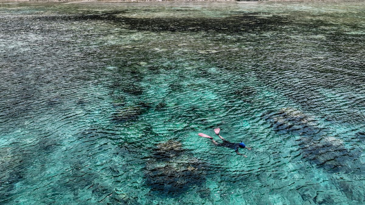
Snorkeling here isn't a single grade, it changes cove to cove and day to day depending on the last rain and which way the swell is running. The morning I went out off Cabo San Juan visibility ran somewhere around eight to ten metres, enough to read the shape of a brain coral head from the surface and watch a barracuda hold position over the sand instead of just catching a shadow of one.
My guide, a local from Santa Marta running these coves for six years, told me the same reef can drop to two or three metres of visibility within a day of heavy rain off the Sierra Nevada, since the rivers here don't take long to reach the sea. Tayrona protects this reef on paper. In the water it looked healthy in patches and bleached pale in others, which tracked with what he said about swell direction pushing sediment onto some coves and sparing others.
Leg Three: Arrecifes, No Entry
Arrecifes sits earlier on the same trail, and it photographs better than Cabo San Juan on a wide lens, open beach, heavier surf, palms leaning the right way for a postcard. I clocked the current here without going past my knees. A drift line of foam moved past a fixed rock in under twenty seconds, covering more distance than the palm frond managed in nine minutes back at Cabo San Juan. That's the whole story before you read a single sign.
The park has posted warning signs along this stretch for years, and rangers repeat the same line to every group walking through: don't swim at Arrecifes. People have drowned here, caught by undertow that pulls hard against a beach that looks no different from the calm one twenty minutes up the trail. The sand's the same colour. The palms lean the same way. The water underneath is doing something else entirely, and you cannot read that difference from the tree line.
Reef survey day, the numbers
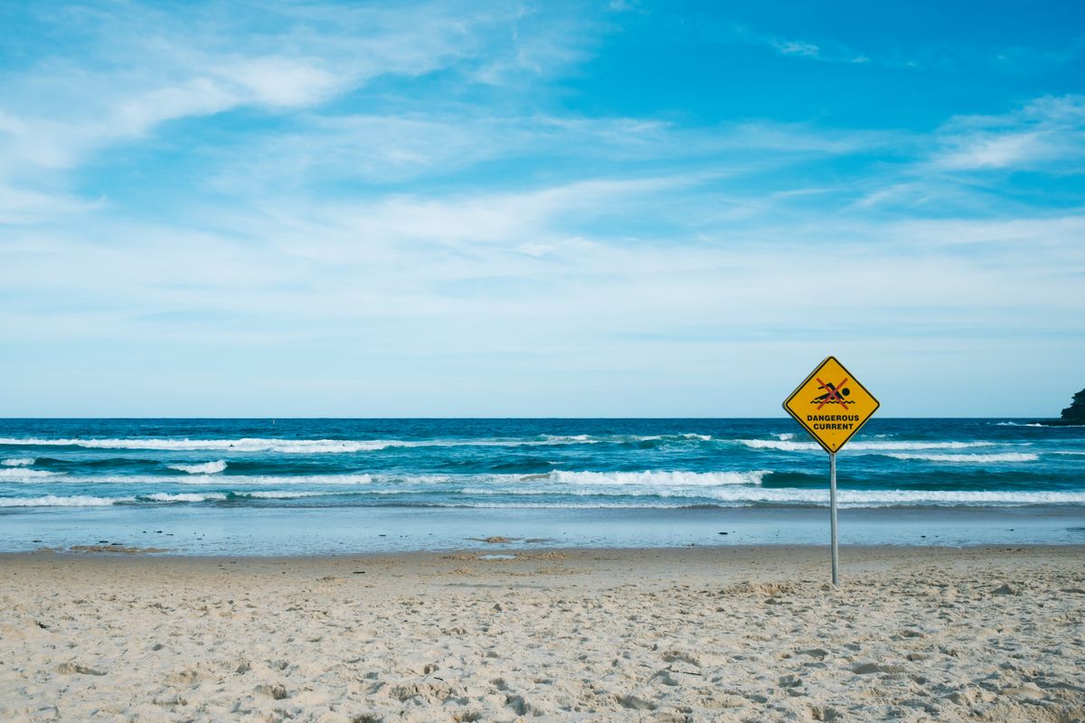
I've coached swimmers who could hold a strong time trial pace and still wouldn't last four strokes in that undertow, because Arrecifes isn't a fitness problem, it's a current doing exactly what a river mouth current does when it meets steep surf. I didn't swim it. Nobody with sense does. My splits for this leg: zero strokes, and the smartest number I logged on the whole trip. ■