Reading the Fleet: A Weather Crawl Down the South Island's Harbours

Akaroa: A Crater Reads Wind Differently
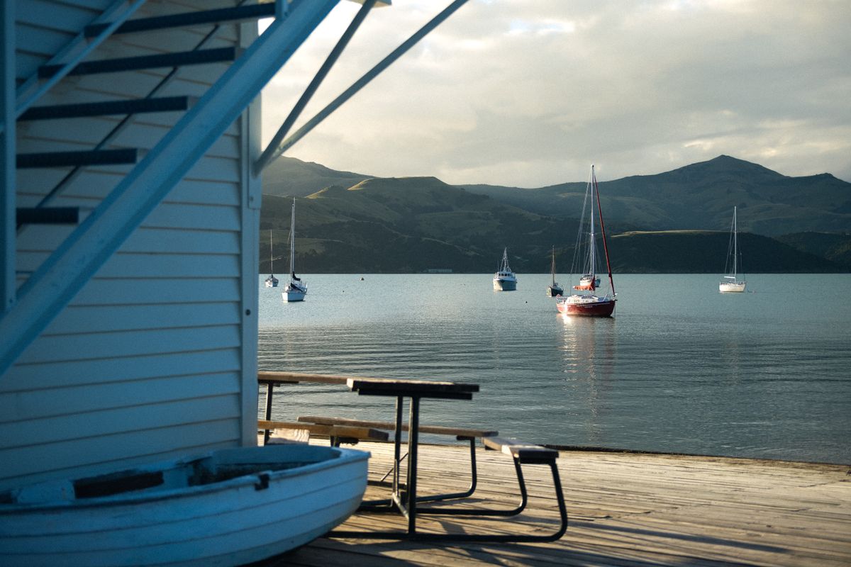
Twelve degrees at 7am, dew still sitting on the wharf boards, a light southwesterly barely moving the flags outside the fuel jetty. Sky mostly clear with a thin band of altocumulus stacked over the crater rim to the east, the kind of cloud that means nothing on its own but is worth watching for what comes in behind it. That was Akaroa's opening bulletin, and the first thing worth saying about it is that it isn't really a harbour at all in the geological sense. It's a flooded volcanic crater, one wall of an extinct cone breached by the sea, which means the wind inside it behaves less like open-coast wind and more like wind inside a bowl.
You can watch this from the main wharf without needing an instrument. A southerly that would rough up the open water off Banks Peninsula gets bent and slowed by the crater walls before it reaches the inner harbour, so the anchorage stays flat well after the outer approaches have started building a chop. Fishermen here have known this for longer than anyone's kept records on it. The shape of the land is doing the forecasting, and the town just inherited the shelter.
Akaroa was a whaling station before it was anything else, then a fishing port, and it's still both a fishing port and a cruise-ship stop, and the two economies share the same water without much friction, which surprised me. Early morning belongs to the working fleet, half a dozen small boats going out for blue cod and butterfish, engines idling low enough that you can hear gulls arguing over bait scraps three boats down. By mid-morning the cruise tenders start running passengers in from ships anchored out past the crater mouth, and the wharf's rhythm changes completely, foot traffic instead of fish bins, but the fleet's already out working by then and doesn't come back until the tourist boats are mostly done for the day.
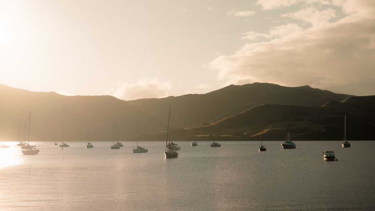
The light in the evening does something specific here that I hadn't seen a crater harbour do before. Because the hills ring the water on almost every side, the sun drops behind the western rim well before actual sunset, and the harbour goes into a soft pre-dusk shadow while the sky above the eastern rim is still lit gold. Boats moored in the foreground read almost silhouetted against water that's still catching full colour. A local fisherman mending pots on the wharf told me the old hands read a red sky over the crater mouth as a sign of a calm day to follow, and it isn't wrong, exactly. A clear reddened sunset usually means dry air and a ridge of high pressure sitting to the west, and a ridge like that is precisely what keeps this coast quiet for the next morning. Folklore first, physics arrives later and agrees with it.
Outlook for the crawl north: the shelter that makes Akaroa's harbour forgiving is a local effect, walls of an old volcano doing the work. Kaikoura has no such walls. It has a canyon instead, and a completely different reason for its boats to be busy.
Kaikoura: The Canyon Sets the Whole Economy's Clock
Fifteen degrees, wind swinging light northeast, sky two-thirds cumulus with clear breaks, sea state slight to moderate off the peninsula. That was Kaikoura on the morning I drove up the coast road from Akaroa, and it's a town whose entire working life is set by something you can't see from the wharf. A few kilometres offshore the seabed drops away into the Kaikoura Canyon, a submarine trench that runs close enough to shore to pull cold, nutrient-rich water up from real depth in a matter of hours when the currents align. That upwelling is the actual engine here, not scenery, an engine that feeds everything from small baitfish to the sperm whales the town is famous for.
It's worth being precise about what that means for the fleet. A shallow continental shelf usually pushes deep water and its nutrients a long way offshore before anything productive happens near the surface. The canyon skips that distance. Cold water rich in nutrients ends up close to land, which means the baitfish schools that draw the commercial catch sit close to land too, and the boats here don't need to run far out to find fish the way they might off a flatter coastline. I watched two crayfish boats leave the harbour before 6am and one of the deckhands, loading pots at the wharf, said the same water that feeds his season is the water the whale-watching skippers depend on for theirs. Different boats, same canyon, same forecast.
Sperm whales are resident here year-round, not migratory the way most of the whale-watching circuit further north relies on, and that residency is a direct consequence of the same deep-water conditions the fishing fleet is working. Whales need squid at depth close enough to reach without a long dive commute. The canyon puts that depth within a short run of the wharf, so the whales stay. It's the tidiest piece of shared geography I've come across on this crawl: one submarine feature quietly running two industries that otherwise have nothing to do with each other.
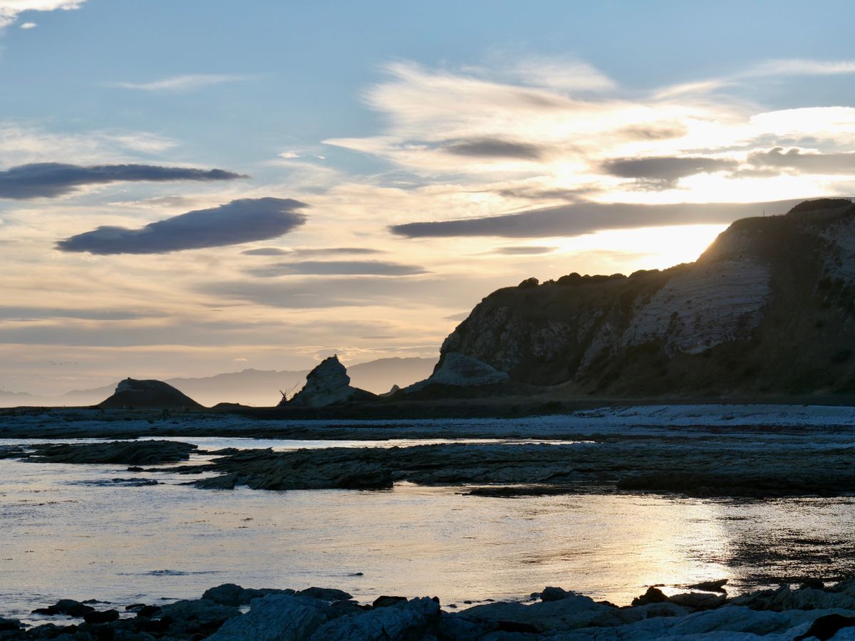
Light on the peninsula that evening turned the cliffs a colour closer to rust than the gold I'd seen at Akaroa, low sun catching dust in the air kicked up by an afternoon nor'wester further inland. Cloud thinned out fast after sunset, stars showing through by full dark, which usually means a settled night behind whatever system pushed that northeast wind through earlier. Outlook for the next stretch: the canyon explains why this town fishes and watches whales in the same water. What it doesn't explain is why some mornings the boats stayed tied up entirely, on both legs of this trip. That's a different system, and it's worth its own bulletin.
Reading the harbour before you plan around it
Check which direction the wind is forecast from, not just the speed; an easterly or southerly on this coast matters far more to small boats than a westerly does
Akaroa's inner harbour can look flat calm while the outer approach is rough; ask at the wharf before assuming the water outside matches what you can see
Kaikoura's whale-watching trips run on the same canyon conditions as the fishing fleet, so a cancelled tour is a reasonable proxy for a cancelled fishing day
A clear, reddened sunset over either harbour is a reasonable sign of a settled morning to follow, for an actual reason and not just a saying
The Pattern That Actually Decided the Days
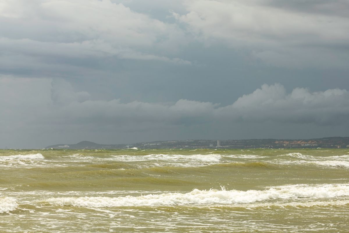
Nine degrees, wind backing southeast then holding, barometer dropping through the morning, a bank of stratus moving in low and grey off the Pacific. That was the bulletin on the one day the Akaroa fleet stayed tied to the wharf entirely, and it had nothing to do with the westerlies I'd half expected to be the culprit. The Southern Alps sit far enough west of this coast that they take the worst out of a westerly system before it ever reaches the water, which is one reason the east coast has a reputation for being sheltered. That reputation only covers wind arriving from the west. It says nothing about what arrives from the south or the east, off open Pacific water with nothing to slow it down.
A southerly change is what actually keeps these boats in harbour, and I saw it twice on this crawl, once at each port. The mechanism is straightforward once you've watched it happen. A low tracking up from the Southern Ocean drags a band of cold, unstable air up the east coast behind it, the wind swings from northeast to southeast to south over a matter of hours, and the swell direction follows the wind because there's no landmass out there to block the fetch. Skippers at both wharves were reading the barometer and the wind direction before they read anything on a phone screen, and both crews made the same call independently, tied up by mid-morning, gear stowed, no drama about it.
None of this read as disaster weather from the wharf. Grey stratus, a steady drizzle by early afternoon, wind holding in the low twenties in knots, nothing that would trouble a container ship and everything that would trouble a nine-metre cray boat working close to rock. The crews I spoke to treated the lost day the way I'd treat a cancelled flight, an inconvenience with a known cause, not a story about the sea being cruel. One deckhand in Kaikoura put pots maintenance on the day instead and seemed entirely unbothered. That's the difference between weather as scenery and weather as an actual working input, and it's the difference this whole crawl kept coming back to.
What the crawl cost, roughly
It isn't the westerly that keeps small boats in harbour on this coast. It's the southerly change.
By the following morning the low had cleared through and the wind had backed further round to the southwest, weaker and drier, and both fleets were back out before I'd finished a coffee at the wharf café. Outlook for anyone planning their own version of this crawl: watch the wind direction more than the wind speed, and treat a southerly change on this coast the way the crews do, as the actual forecast, not an inconvenience to work around. ■