The Physics Behind Niseko's Powder Bulletin
A meteorologist reads Hokkaido's snow country the way she reads a forecast model, one system at a time.

Niseko's Opening Bulletin
Minus six Celsius on the tarmac at New Chitose, wind out of the northwest around ten knots, sky a flat grey stratus deck with no texture to it at all. That's not weather worth mentioning back home, but it's the first line of Hokkaido's forecast for the whole season, and it holds the story of everything that happens here between December and March.
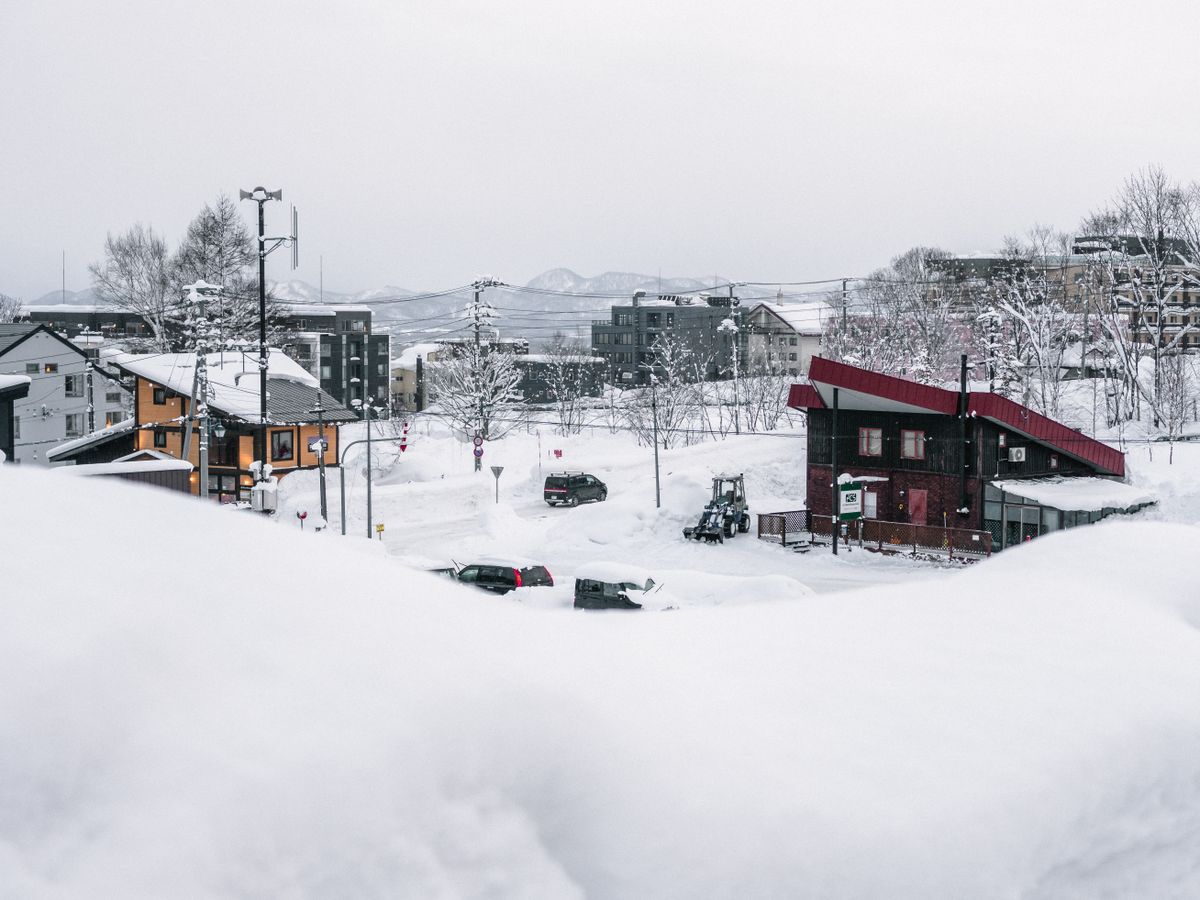
By the time the transfer bus climbed out of Kutchan the deck had lowered again and started shedding, fine dry flakes falling almost straight down with no melt on the windshield, the kind of snow that squeaks instead of slushes underfoot. Niseko Village at ground level looked like a town built inside its own snow report. Banks along the main road stood chest high, cut square by the plows into walls you could rest a coffee mug on.
Roof lines had softened into pillows, the sharp edges of every building buried under a season's worth of accumulation. Nothing I could see had consolidated into ice, still dry and loose under the top layer, and that's a data point in itself, not an accident. Overnight the stratus deck is forecast to thicken rather than clear, meaning tonight's flakes are just the opening bulletin of a system still assembling itself out over the sea. Tomorrow's the day to actually read what's driving it.
The Machine Behind the Magic Snow
Reading a Powder Day Like a Forecast
Check the JPCZ's position on a satellite loop, not just the overnight snow total, a band sitting directly over Hokkaido's coast means the dump is still loading.
Dress for wrung-out moisture as much as cold, the snow is dry but the air feeding it is saturated.
Heavy accumulation still falling by mid-morning usually means the convergence band is still active overhead, worth getting first tracks before it drifts.
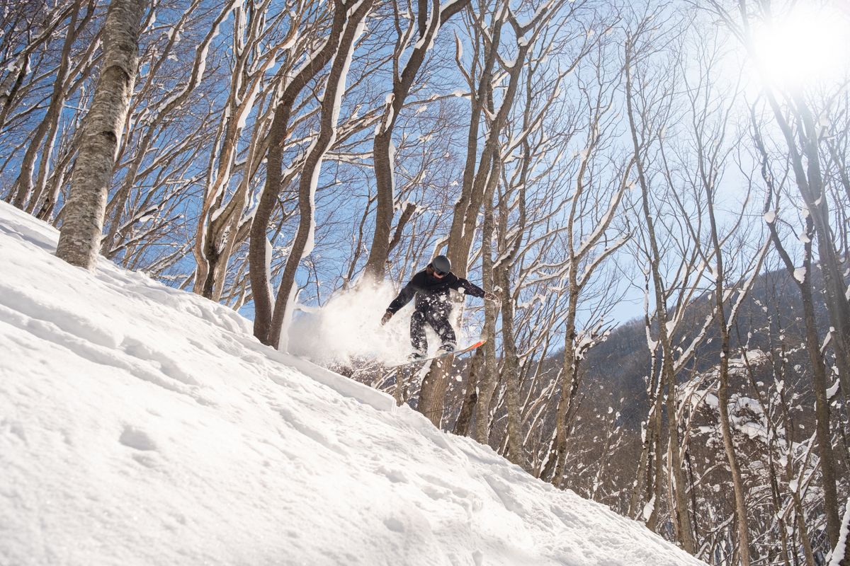
Minus four Celsius at first lift, humidity pinned near saturation, snow falling steadily enough to bury yesterday's tracks by nine in the morning. Ask anyone in the lift line why Niseko gets snow like this and you'll hear the word blessed inside of thirty seconds. Japow, they call it, as if the mountain simply decided to be generous this particular winter, some local magic Hokkaido has and nowhere else does.
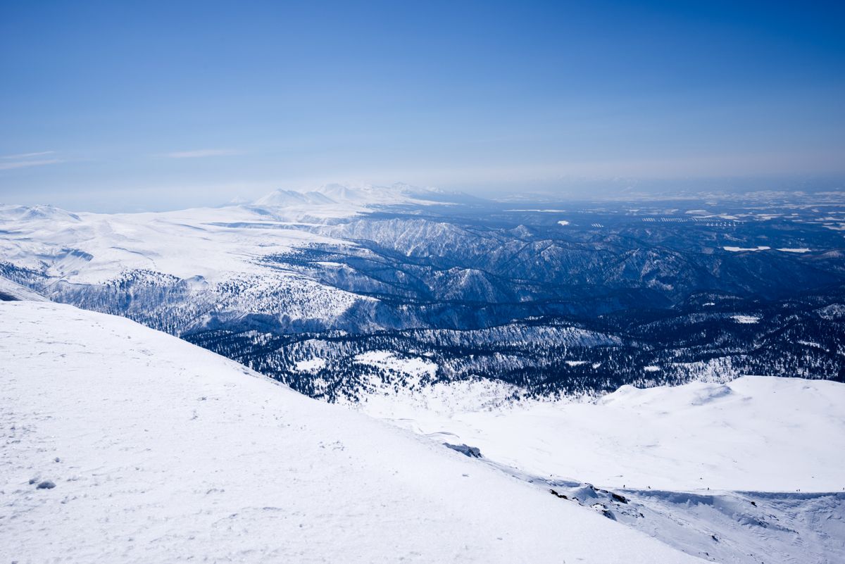
It isn't magic, it's a convergence zone with a name and a mechanism, and once you've traced it on a satellite loop you can't unsee it. Cold, dry Siberian air rolls out across the Sea of Japan every winter, and that sea, still holding autumn heat, is dramatically warmer than the air crossing it. The air picks up warmth and moisture off the water, and where it collides with the outflow behind it a narrow band forms, the JPCZ, the Japan Sea Polar-airmass Convergence Zone, a line of concentrated cloud and snowfall stretched across roughly a thousand kilometres of open water. When that saturated band hits Hokkaido's coast, the mountains force it upward and the moisture wrings out as fine dry powder on the windward slopes. The whole system feeds itself: condensation releases heat, the heat adds buoyancy, the buoyancy strengthens the updraft, and the stronger updraft pulls more moisture off the sea behind it. Lake-effect snow, if the lake were an ocean and the storm never quite ran out of fuel.
Bulletin note for anyone renting gear based on optimism rather than the forecast: seventy percent chance of regretting those thin gloves by ten a.m., confidence high. The snow doesn't care that it's supposed to be romantic. It's doing what a thousand-kilometre convergence band over open water does every time the setup lines up.
The JPCZ is most reliably active from December through February, when the Siberian outbreaks run coldest and the Sea of Japan is still warm enough to hand off real heat and moisture before winter drains it. That's the actual climate reason this window gets called peak season, not tradition. Outlook for the rest of the week: the band looks set to persist offshore, so tomorrow's forecast is more of the same, quietly, without any need for luck.
Japow isn't a blessing, it's a convergence zone with a name, and it does this every winter on schedule.
Steam Over Snow in Noboribetsu
Minus two Celsius by early evening, wind dropped to nothing, sky finally clearing to a hard black scattered with stars, the kind of clearing that happens once a convergence band has drifted off to feed some other stretch of coastline for the night. Noboribetsu's valley smelled of sulfur before I'd even found the ryokan, a sharp mineral edge riding up out of Jigokudani on whatever thermal draft the cooling ground could still generate.
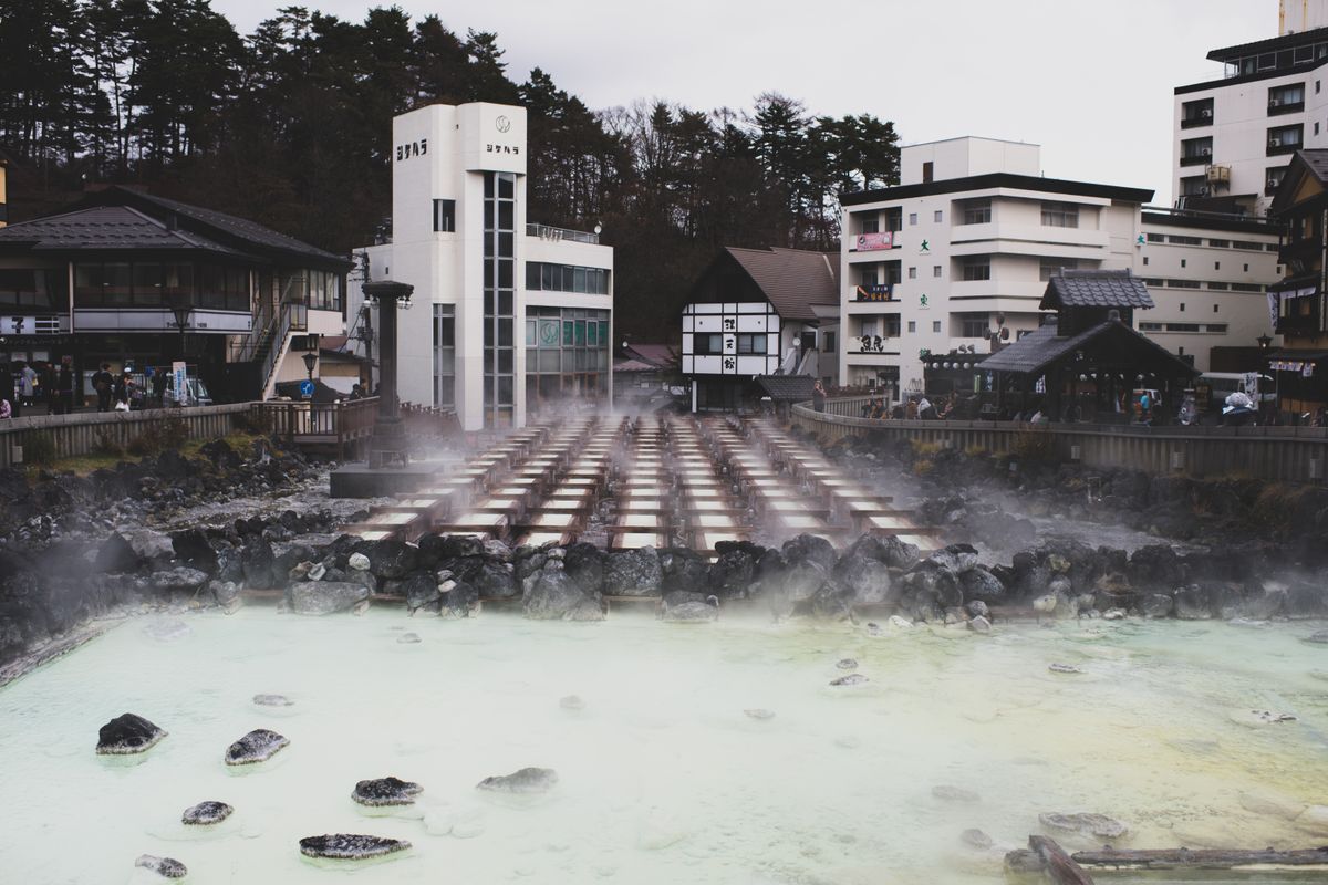
The contrast is the whole point of the place. Snow banked along every path, cold enough to hold its shape, and underneath it, heat working its way up from volcanic ground that never got the memo about winter. Steam came off the mineral baths in slow, straight columns, catching the light spilling from the windows and going nowhere, no wind to carry it off. Bathers sat shoulder-deep in water, some pools rust-orange with iron, some milky with sulfur, snow melting to slush at the rim where body heat and bathwater met the cold air.
Outlook overnight: clear skies mean the ground radiates heat fast, and temperatures should drop hard before dawn, cold enough that the paths will need salting by morning. After that the models show the next convergence band already organizing itself out over the sea, which means somewhere on this island tomorrow's bulletin starts exactly the way this one did. ■